
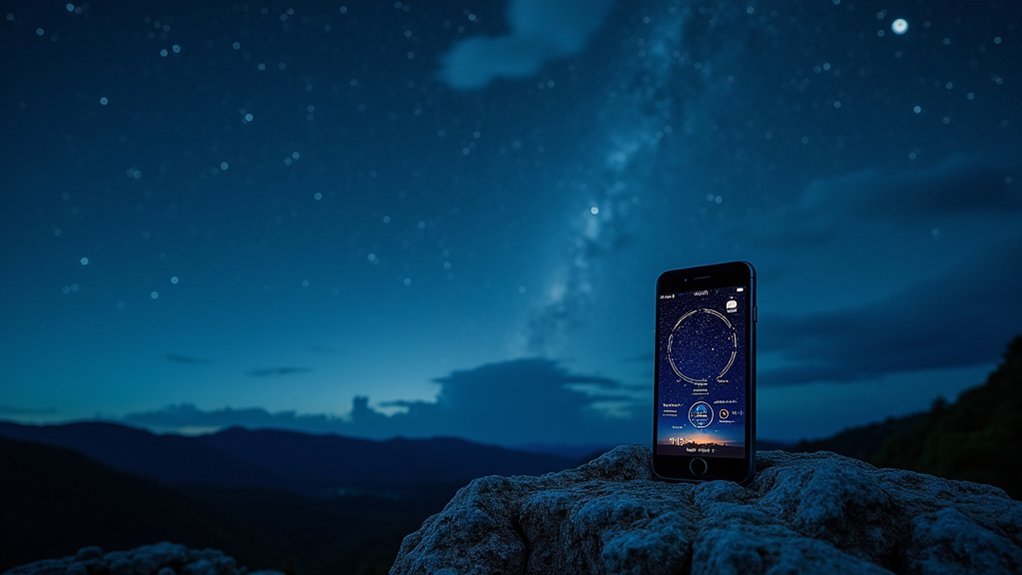
Light Pollution Map and Dark Site Finder offer the best extensive tools for astrophotographers, providing color-coded visualizations of Bortle Scale ratings. For mobile shooting, try The Photographer’s Ephemeris which tracks celestial events alongside light pollution data. When planning shoots, look for areas rated Bortle 1-4 for best star visibility. Combine these maps with weather apps like Clear Outside for ideal conditions. The perfect dark sky shot requires more than just finding darkness on a map.
What’s The Best Dark Sky Map For Photographers?

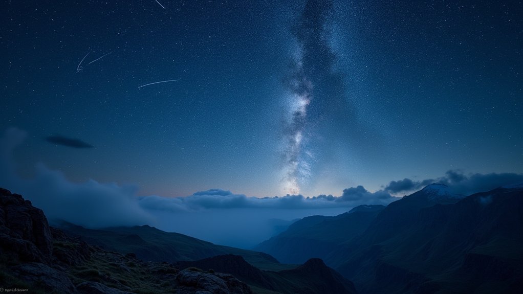
When pursuing astrophotography, finding truly dark skies can make the difference between capturing stunning celestial images or going home disappointed.
The most effective dark sky maps provide color-coded light pollution data that correlates with the Bortle Scale, helping you identify locations with ratings between 2.5-3.5 for ideal photography conditions.
The International Dark Sky Association offers extensive resources for locating designated dark sites where you’ll achieve the best results with your astrophotography equipment.
Look for maps featuring zoom capabilities, geolocation services, and opacity sliders to customize your search for perfect dark sky locations. Resources like Dark Site Finder are invaluable when planning shoots around specific celestial events.
For best results, combine these maps with mobile apps that track weather conditions, ensuring you arrive at your chosen dark sites when viewing conditions are ideal.
Understanding Light Pollution and the Bortle Scale
Light pollution creates a veil that obscures the night sky’s most spectacular features, directly affecting what you can capture in your astrophotography.
The Bortle Scale, ranging from Class 1 (pristine dark skies) to Class 9 (inner-city brightness), helps you evaluate potential shooting locations based on sky darkness.
Understanding where your location falls on this scale lets you set realistic expectations for your images and plan accordingly for the celestial objects you hope to photograph.
Light Pollution Impact
As photographers venture into the night to capture celestial wonders, they quickly discover that not all dark skies are created equal.
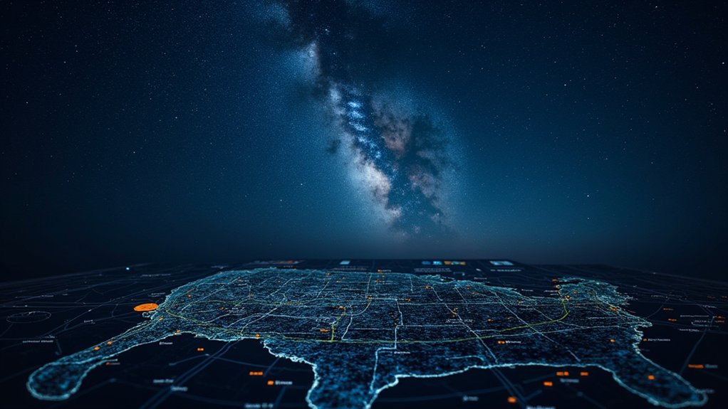
Light pollution has dramatically increased over the last century, with 80% of people worldwide now living under light-polluted skies, making truly dark sky areas increasingly rare and valuable.
When you’re planning your Milky Way photography session, understanding light pollution’s impact helps you determine if a location is dark enough for your goals:
- Bortle 1-2 locations offer pristine views with minimal light interference—ideal for capturing detailed celestial objects
- Bortle 4 areas provide accessible options while still delivering good imaging possibilities
- Sky quality meter readings help quantify darkness levels, ensuring night photographers don’t waste time in unsuitable locations
Bortle Scale Basics
Created by astronomer John Bortle in 2001, the Bortle Scale provides photographers with an essential framework for understanding the darkness potential of any location.
This nine-level classification system measures night sky quality, with Bortle 1 representing the darkest possible skies and Bortle 9 indicating severely light-polluted urban areas.
When planning your night photography sessions, knowing the Bortle classification of your shooting location is vital.
Bortle 2-3 areas offer excellent visibility of the Milky Way and other celestial objects, while Bortle 4 locations—typically found within a couple hours of cities—still provide workable conditions for decent astrophotography.
As you move up the scale, light pollution increasingly obscures fainter stars and astronomical features.
For serious night sky photography, seek out dark skies rated Bortle 3 or lower.
Top Dark Sky Apps and Online Maps for Photographers
You’ll find specialized dark sky mapping tools that provide essential light pollution visualization for your astrophotography planning.
The International Dark Sky Association’s interactive map and tools like Dark Site Finder offer color-coded representations of light pollution levels worldwide, helping you identify prime shooting locations away from urban glow.
When combined with planning apps like PhotoPills that track celestial events and moon phases, these mapping resources create a powerful toolkit for capturing stunning night sky imagery.
Light Pollution Visualization Tools
When planning your night photography adventures, light pollution visualization tools become indispensable assets in your creative arsenal.
The Dark Site Finder provides extensive insights into light pollution levels globally, helping you identify locations with minimal light pollution for capturing stunning celestial events.
The International Dark Sky Association’s interactive map guides you to officially recognized dark sky preserves—ideal for Milky Way photography and other astronomical subjects.
These tools often incorporate the Bortle Scale, enabling you to:
- Identify prime Class 1-3 zones for astrophotography
- Visualize light dome interference from nearby cities
- Plan compositions using the Photographer’s Ephemeris to anticipate how light pollution affects your frame
Astrophotography Location Finders
Beyond visualization tools, photographers need specific apps and online resources dedicated to finding ideal dark sky locations. The Dark Sky Finder app offers a user-friendly interface with color-coded maps that visualize light pollution levels, making it easier to identify prime spots for night photography.
When planning your Milky Way shoots, consider using the International Dark Sky Association’s interactive map, which highlights designated dark sky parks with minimal artificial lighting.
Light Pollution Map leverages satellite data to provide a global overview you can zoom into for detailed location scouting.
For thorough planning, The Photographer’s Ephemeris integrates with Google Maps to show celestial positioning at potential shooting locations.
Sky & Telescope’s online resources enable you to assess regional light pollution levels, helping you plan astrophotography trips to areas with ideal dark sky conditions.
Interpreting Map Data for Optimal Astrophotography Conditions
Understanding how to read dark sky maps effectively can transform your astrophotography results from mediocre to spectacular. When searching for ideal locations, focus on areas with light pollution ratings between 2.5-3.5 on the 1-9 scale—these provide the perfect balance for capturing the Milky Way and other celestial events.
Look for these key features when interpreting map data:
- Color-coded overlays that clearly distinguish between light-polluted and darker areas
- Dark site markers indicating officially recognized locations with exceptional visibility
- Opacity sliders that help you visualize how artificial lighting affects potential shooting spots
Don’t overlook maps that highlight specific celestial event dates, as timing your shoot correctly can be just as important as location when planning your astrophotography adventures.
Planning Your Shoot: Using Maps to Track Celestial Events
Successfully capturing breathtaking night sky images requires more than just finding dark locations; you’ll need to track specific celestial events and plan your shoot accordingly. Dark sky finder apps integrate Bortle Scale ratings to help you escape light-polluted areas and achieve ideal night sky visibility.
| Event Type | Best Bortle Scale | Moon Phase Recommendation |
|---|---|---|
| Milky Way Core | 1-3 | New moon to 10% |
| Meteor Showers | 1-4 | Less than 25% illumination |
| Star Trails | 1-5 | Any phase with planning |
| Northern Lights | 1-4 | New moon preferred |
The Photographer’s Ephemeris is invaluable for timing celestial events, providing exact positioning data for stars and planets. Track moon phases carefully—a full moon can wash out delicate features that would otherwise be visible under darker conditions.
Alternative Methods for Finding Dark Sky Locations
While planning tools help track celestial events, finding truly dark skies often requires more resourceful approaches than standard light pollution maps.
Beyond National Park designations, you’ll discover hidden gems for Milky Way photography by exploring these alternatives:
- Connect with fellow photographers through Instagram and Flickr to find lesser-known dark locations where light pollution won’t interfere with your starscape shots.
- Utilize satellite view in Google Maps to scout remote areas and identify interesting foreground elements that will enhance your night photography compositions.
- Engage with local astronomy clubs who often maintain lists of prime viewing spots away from city lights where you can capture stunning celestial phenomena.
These methods complement traditional dark sky maps and help you find unique locations for exceptional astrophotography that stands out from typical shots.
Combining Maps With Weather Forecasts for Perfect Timing
Even the darkest skies won’t yield spectacular astrophotography results if they’re obscured by clouds or haze. That’s why combining dark sky maps with weather forecasts is essential for planning successful night shoots.
Start by identifying potential locations using tools like Dark Site Finder to pinpoint areas with low light pollution. Then cross-reference these spots with weather apps that track atmospheric clarity, cloud cover, and humidity levels. Clear Outside is particularly valuable, offering specialized forecasts for photographers.
Don’t forget to consult moon phase calendars—scheduling your shoot during a new moon will dramatically improve visibility of celestial objects.
Frequently Asked Questions
What Is the Best Dark Sky Park?
The best dark sky park depends on your location, but Cherry Springs State Park in Pennsylvania and Big Bend National Park in Texas offer exceptional stargazing with Bortle Scale ratings of 2-3, perfect for astrophotography.
Where in the World Has the Best View of the Night Sky?
You’ll find the world’s best night sky views in Chile’s Atacama Desert, New Zealand’s Aoraki Mackenzie Reserve, and Namibia’s NamibRand Nature Reserve. These locations offer pristine darkness, minimal humidity, and high elevation for stellar visibility.
Can You See Milky Way in Bortle 4?
Yes, you can see the Milky Way in Bortle 4 skies. It’ll appear dimmer than in darker locations, but you’ll still enjoy good views, especially of the galactic core during moonless nights.
How to Take a Photo of a Dark Sky?
To take a dark sky photo, you’ll need a tripod, camera with manual settings, and 15-30 second exposures. Choose moonless nights in Bortle 1-3 areas and include interesting foreground elements for compelling compositions.
In Summary
You’re now equipped to find perfect dark skies for your nighttime photography adventures. Whether you’re using Light Pollution Map, Dark Site Finder, or combining these tools with weather apps, you’ll capture stunning cosmic scenes with proper planning. Remember, the best dark sky map is ultimately the one that fits your specific photography needs and location. Now get out there and shoot those stars!


Leave a Reply