
To catch elusive breaks in cloud cover, you’ll need specialized tools like Clear Outside and Dark Sky apps for accurate forecasts. Combine these with satellite imagery analysis and color-coded Clear Sky Charts to identify viewing windows. Add handheld measurement tools like anemometers and barometers to track changing conditions. Set up mobile alerts from SkySafari or WeatherBug for sudden clear skies. Local weather pattern knowledge and community connections will transform your stargazing success.
Specialized Weather Apps for Predicting Night Sky Clarity

While general weather forecasts provide basic information, specialized weather apps offer stargazers the detailed predictions they need for ideal viewing experiences.
Apps like Clear Outside deliver extensive cloud cover forecasts, showing thickness and type—crucial details for planning your night sky observations.
Cloud forecast details matter—knowing thickness and type can make or break your stargazing plans.
Weather Underground’s hyper-local data with real-time satellite imagery helps you pinpoint prime viewing windows in your exact location.
For avoiding sudden weather changes, Dark Sky’s minute-by-minute precipitation predictions prove invaluable when you’re already at your viewing site.
The Clear Sky Chart app caters specifically to astronomers with visual forecasts that help you select the best stargazing locations based on projected conditions.
Meanwhile, WeatherBug and AccuWeather provide timely alerts about severe weather, ensuring you don’t venture out when conditions might deteriorate.
Cloud Coverage Maps and How to Interpret Them
Because successful stargazing depends heavily on clear skies, cloud coverage maps have become essential tools for amateur astronomers. These maps display cloud cover as percentages, showing exactly how much of the sky is obscured in your target observation area.
You’ll find these maps on various weather websites and apps, updated in real-time to help you plan your stargazing sessions effectively. Pay attention to the color coding—darker shades typically indicate thicker clouds that completely block visibility conditions.
For the most accurate assessment, use different map types like infrared and visible satellite imagery, which reveal significant details about cloud thickness and type.
Combining cloud coverage maps with local weather forecasts gives you the most complete picture, allowing you to identify ideal viewing windows when stars will shine their brightest.
Satellite Image Analysis for Short-Term Predictions

You’ll gain a significant advantage by learning to track weather gaps using GOES-16 satellite imagery, which offers near real-time views of approaching cloud systems.
When analyzing GOES-16 data, focus on the movement patterns of cloud formations rather than just current coverage to identify potential viewing windows.
These satellite images, updated every 15 minutes, can help you spot developing breaks between weather systems hours before they occur, giving you time to prepare your observation equipment.
Weather Gap Timing
When clouds threaten to ruin your stargazing plans, satellite imagery becomes an invaluable tool for timing your observations. By tracking cloud movements in real-time, you’ll spot potential weather gaps that create perfect viewing windows.
With the right equipment and a weather app that incorporates satellite data, you can make informed decisions about when to head outside.
Cloud Break opportunities often appear briefly, so timing is everything:
- Watch for approaching clear patches between weather systems
- Note the speed of cloud movement to estimate viewing duration
- Look for stable gaps that persist rather than rapidly closing ones
Weather gap timing requires practice, but you’ll soon develop skill in predicting these opportunities.
Check satellite updates hourly when planning evening observations—even partial clearing can provide enough visibility for meaningful astronomical viewing.
GOES-16 Data Interpretation
The most powerful tool in a stargazer’s weather prediction arsenal is GOES-16 satellite imagery. This NOAA-operated geostationary satellite captures high-resolution images every 5 minutes, giving you real-time data to assess cloud conditions before your star party.
You’ll benefit from the Advanced Baseline Imager (ABI) technology that observes multiple wavelengths, helping you distinguish between different cloud types and moisture patterns.
By accessing this data through NOAA’s National Centers for Environmental Information, your interest in astronomy transforms into practical weather forecasting.
Learn to interpret these images to identify approaching clear pockets between cloud systems. This skill allows you to predict short-term weather changes specific to your location, maximizing observation opportunities even on partly cloudy nights when others might stay indoors.
Clear Sky Charts and Astronomical Transparency Tools
Planning successful stargazing sessions depends heavily on accurate forecasting tools that predict viewing conditions. Clear Sky Charts offer detailed, color-coded forecasts where blue signals excellent visibility and red warns of poor conditions.
You’ll find hourly updates on cloud cover, transparency, and seeing conditions for your specific location.
These astronomical transparency tools factor in:
- Humidity levels that can obscure celestial objects
- Light pollution measurements affecting visibility of fainter objects
- Air quality indicators that determine overall atmospheric clarity
You can access these invaluable resources online, whether you’re an amateur or professional astronomer.
The color-coded system lets you quickly assess if tonight’s worth setting up your telescope or if you should wait for clearer skies. With these tools, you’ll maximize your observation time and avoid disappointing viewing experiences.
Mobile Alerts and Notification Systems for Sudden Breaks

Because clouds can dissipate unexpectedly, real-time notification systems have become essential tools for serious stargazers. You’ll never miss another celestial opportunity by setting up mobile alerts that instantly notify you when skies clear in your area.
Apps like SkySafari and Stellarium offer push notifications for both clear skies and significant astronomical events, allowing you to grab your equipment and head outside at a moment’s notice.
Complement these with NOAA weather alerts or local weather station apps for immediate updates on improving visibility conditions.
Don’t overlook dedicated astronomy websites that provide aurora forecasts and visibility alerts via email or text.
You can also connect with local stargazing communities through social media, where fellow enthusiasts often share real-time updates about sudden cloud breaks in your vicinity.
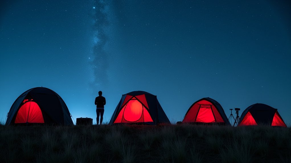
Understanding Local Weather Patterns for Better Planning
Successful stargazers develop an intimate knowledge of their local weather patterns, transforming unpredictable skies into manageable variables for observation planning.
By monitoring local forecasts and cloud cover predictions, you’ll identify ideal viewing nights while avoiding wasted trips to your observation spot.
Seasonal awareness proves invaluable—each region has unique weather rhythms that directly impact visibility. You’ll notice certain months consistently deliver clearer night skies than others.
The rhythms of seasonal skies reveal themselves to patient observers—your local celestial calendar awaits discovery.
- Picture yourself checking your weather app at sunset, spotting a perfect two-hour window between cloud fronts for Jupiter observation.
- Imagine confidently planning next month’s meteor shower viewing based on historical clear-sky data for your area.
- Envision joining local astronomy forums where members share real-time updates about unexpected cloud breaks.
Connect with fellow astronomy enthusiasts to exchange location-specific weather insights and maximize your stargazing opportunities.
Budget-Friendly Equipment for Cloud Monitoring

While knowing your local weather patterns sets a foundation for stargazing success, having the right monitoring tools transforms your preparation into precision. You don’t need expensive equipment to track cloud conditions effectively.
| Tool | Benefit |
|---|---|
| Handheld anemometer | Measures wind speed to predict cloud movement and potential clearing |
| Infrared thermometer | Monitors ground temperature; cooler readings often indicate clearer skies |
| Portable weather station | Tracks barometric pressure changes that signal shifting weather patterns |
Consider using a smartphone with time-lapse capabilities to monitor cloud movement over time. This visual tracking helps you predict clearing windows for ideal viewing. For hyper-local forecasts, the Clear Outside app provides detailed cloud cover predictions and transparency ratings specifically designed for stargazers.
Frequently Asked Questions
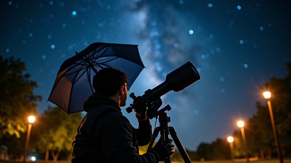
What Is the Best Tool for Stargazing?
A quality telescope is your best tool for stargazing, allowing detailed observation of celestial bodies. You’ll find options ranging from beginner-friendly models to advanced setups depending on your experience level.
What Are the Best Binoculars for the Aurora Borealis?
For aurora borealis viewing, you’ll want the Celestron SkyMaster Pro 15×70 binoculars. They’re perfect with their wide field of view, large 70mm lenses that gather plenty of light, and comfortable design for extended nighttime use.
In Summary
Don’t let clouds stop your stargazing adventures. With these seven tools at your disposal, you’ll be better equipped to predict clear skies and take advantage of unexpected breaks. Start by mastering one or two apps, then gradually incorporate the others into your routine. Remember, even experienced astronomers can’t control the weather—but you can certainly outsmart it with the right preparation.

Leave a Reply